-40%
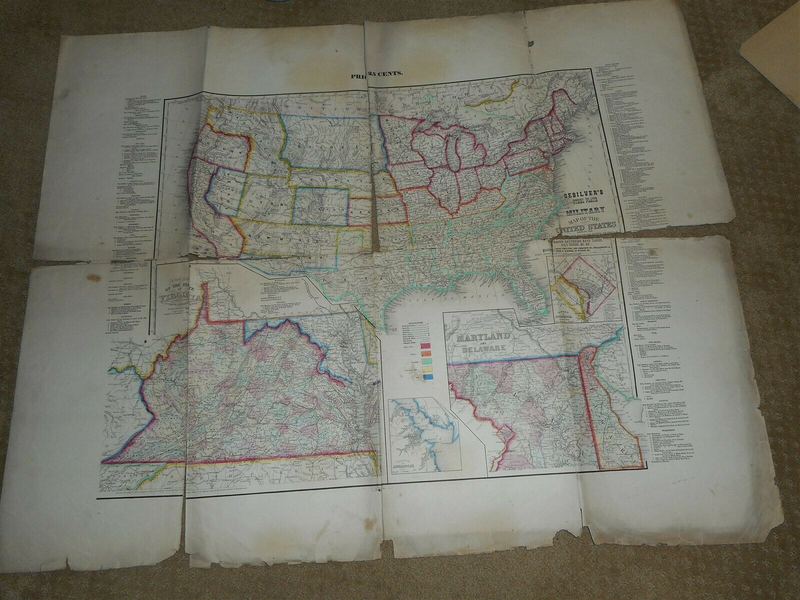
Desilver's Steel Plate Military Map Of The United States 1860 Civil War Era Map
$ 527.99
- Description
- Size Guide
Description
Desilver's Steel Plate Military Map Of The United States Showing The Location of the Military Posts, Arsenals, Barracks, Batteries, Navy Yards, Rail Roads, and c and c. poor condition. needs restoration, tears and some paper loss, split in center. 37 3/4" x 29 3/4". publishers charles desilver and thomas wagner. marked 25 cents at top center, lower left marked Entered according to Act of Congress in the year 1860 by Charles Desilver in the Clerks office of the DIstrict Court of the Eastern District of Pennlvania. check out my other auctions. please visit my store.Powered by SixBit's eCommerce Solution


